For a look at what it takes to put it all on the line to protect our forests and keep our communities safe, hear from Naomi Mills, a smokejumper with the USDA Forest Service. Generally, she’s busy crossfitting, mountain biking, running, or jumping out of airplanes to fight to wildfires.
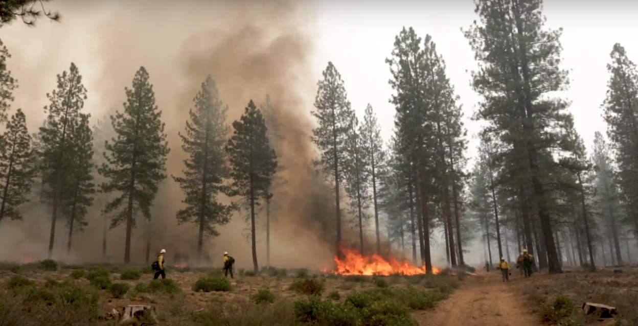
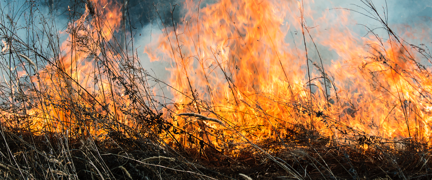
Naomi knows fire can be both friend and foe. In the right place at the right time, fire creates environmental benefits, such as reducing grass and brush that serve as fuel for megafires, while also improving habitats for wildlife.In the wrong place at the wrong time, wildfires wreak havoc, threatening lives, communities, resources, and public infrastructure. Instead of putting out every fire, we need to better incorporate fire into forest management toolboxes to reduce the likelihood of catastrophic wildfires and megafires.
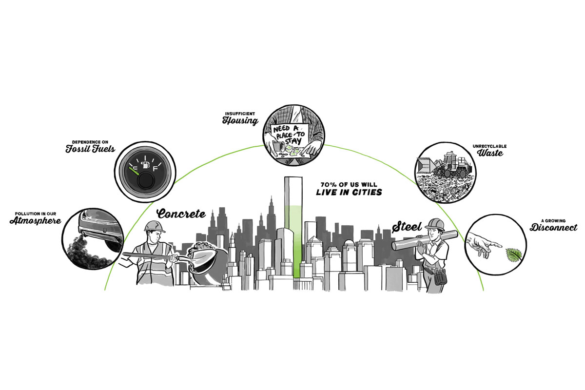
Megafires are devastating our forests and our communities. Find out what you can do to help stop them. We all have a part to play. The “Firewise Communities” effort and Ready, Set, Go offer some great community protocols regarding fire safety and keeping yourself safe. For more wildfire facts, check out our Wildfire | Fast Facts.